
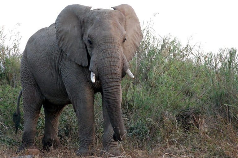
Donkey
Sure-footed partner of people
Sure-footed partner of people
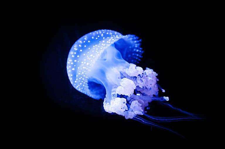
Sting-powered drifters of the sea

Sun-powered lizards of the Americas

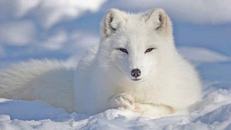
From dunes to tundra-fox smart.

Build wetlands, shape worlds.

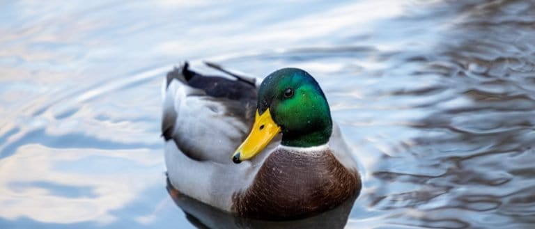
Webbed feet, sky roads, wetland lives
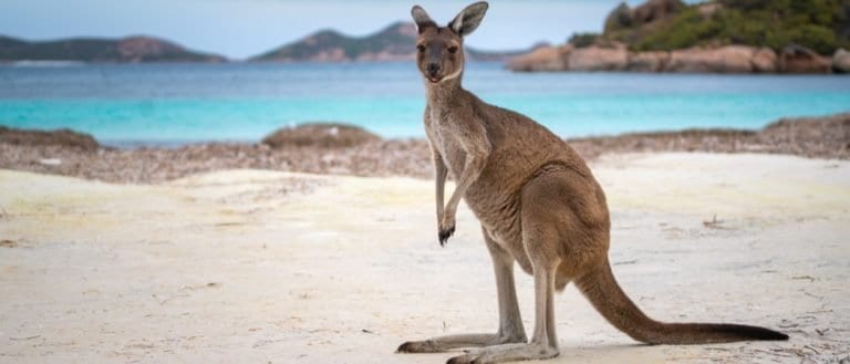
Big hops, big pouches, big variety

Small hunter, big household legend
Three stripes. Big city attitude.
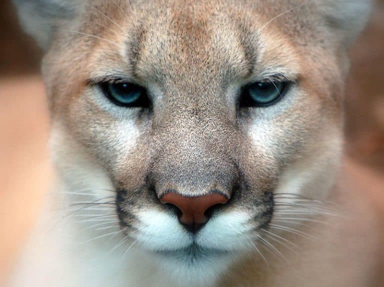
One cat. Two continents.
Coastal terrain is the band of landscape at the boundary between land and ocean, continuously shaped by waves, tides, currents, and wind. It includes both the shoreline and adjacent nearshore landforms and habitats influenced by marine processes.
Coastal terrain forms where marine energy and sediment movement interact with the edge of the continent or island. Waves and longshore currents erode headlands, transport sand and gravel, and deposit sediments to build features such as beaches, barrier islands, spits, and dunes. In higher-relief settings, wave action cuts sea cliffs and wave-cut platforms, while in lower-relief settings, deposition and tidal processes create broad sandy shores, tidal flats, and lagoons.
Coastal areas are highly dynamic and often change noticeably over seasons and storm cycles. Sea-level fluctuations, storm surge, and extreme events (e.g., hurricanes/typhoons) can rapidly reshape shorelines through erosion, overwash, and inlet formation. Human development (ports, seawalls, dredging, beach nourishment) can further alter sediment budgets and shoreline stability.
Ecologically, coastal terrain supports specialized salt-tolerant and flood-adapted ecosystems, including salt marshes, mangroves (in tropical/subtropical climates), seagrass beds (nearshore), and estuaries where freshwater mixes with seawater. These environments are typically productive nurseries for marine life and provide services such as wave attenuation, water filtration, and carbon storage, but they are also sensitive to pollution, habitat fragmentation, and sea-level rise.
Near sea level: ~0-50 m above mean sea level across beaches, dunes, tidal flats, and coastal plains; cliffed coasts commonly tens to a few hundred meters where resistant bedrock is exposed.
Below mean sea level in tidal channels and some lagoon basins; lowest land surfaces are typically at or just above sea level but are periodically submerged during high tides and storm surge (including overwash). Highest extremes occur where coastal mountains meet the sea or where marine terraces/cliffs have been tectonically uplifted (hundreds of meters to >1,000 m locally).
Highly variable and rapidly changing: gently sloping intertidal flats and wide beaches (often <1-5°), moderate dune faces and backshores (commonly ~5-20° with localized slipfaces steeper), and steep to near-vertical sea cliffs (often >35° to vertical) with undercut bases and talus aprons.
Forms at the land-sea interface through marine erosion (wave quarrying/abrasion, hydraulic action), sediment transport and deposition by waves, tides, and longshore currents, plus wind-driven reworking of dry sand into dunes. River input builds deltas/estuaries; tidal inundation and fine-sediment settling form mudflats and salt marshes. Sea-level change and tectonic uplift/subsidence create raised beaches, marine terraces, drowned valleys (rias), and barrier systems.
Generally dynamic and disturbance-driven. Shorelines migrate with tides, storms, seasonal wave climate, and multi-decadal sea-level trends; beaches and dunes can shift noticeably after storms and over seasons. Cliffs are episodically unstable due to undercutting, rockfall, and landslides; wetlands/estuaries evolve with sediment supply and inundation frequency.
Mixed. Firm upper beaches and stable dunes can be moderately easy corridors for many animals, while soft dry sand, cobble/boulder shores, mudflats, and dense marsh vegetation reduce movement efficiency. Intertidal zones are time-limited by tides and can be hazardous due to soft substrates, channels, and wave action; cliffed coasts are often difficult or impassable except via gullies or established paths.
Streamlined body with powerful hind flippers for efficient nearshore swimming; can haul out on rocks/sand to rest and thermoregulate
Extremely dense fur for insulation in cold coastal waters and tool use (rocks) to crack shellfish in kelp beds
Expandable throat pouch and plunge-diving behavior to capture schooling fish in coastal shallows
Strong, chisel-like bill specialized for prying open or hammering bivalves on intertidal shores
Rapid "wave-chasing" foraging with quick sprinting and probing to exploit prey in the swash zone
Generalist coastal scavenger with salt-tolerant physiology and opportunistic feeding (including dropping shells to crack them)
Burrowing in beach sand to avoid heat and predators; fast sideways sprinting on loose substrates
Wading and burrowing in tidal mudflats; enlarged claw used for signaling in dense, exposed intertidal colonies
Flattened tail and strong claws for swimming and gripping rocks while grazing algae in wave-swept intertidal zones
Camouflaged plumage and sand-running locomotion for nesting and foraging on open beaches above the tide line
Coastlines don't have a single "true" length: the measured length changes dramatically with the size of the ruler (the coastline paradox).
Some beaches can "sing" or "boom": under the right grain size and dryness, sand dunes and beaches can produce audible tones when disturbed.
Not all coasts are sandy-many are made of rock, coral fragments, shells, or even boulders, depending on wave energy and local geology.
Mangroves and salt marshes can build land upward by trapping sediment, sometimes keeping pace with modest sea-level rise instead of simply being drowned.
Coastal wetlands can store carbon at very high rates ("blue carbon"), often rivaling or exceeding many forests per unit area-despite looking sparse above ground.
Waves can move shoreline sediment both directions; a beach can lose sand in one season and naturally regain much of it in another as wave patterns shift.
Rising sea level doesn't always mean immediate beach loss: in some places, added sediment supply or changing currents can temporarily widen beaches.
Cliffs can retreat in sudden bursts rather than gradually-long periods of little change can be followed by rapid collapses after storms or heavy rain.
Some "rivers" flow in the sea near coasts: dense, sediment-laden water can cascade downslope as turbidity currents, carving submarine channels.
Coastal dunes are not just piles of sand: vegetation can lock them in place, creating stable landforms that may persist for centuries-until the plants are disturbed.
The world's longest coral reef system is the Great Barrier Reef (Australia), stretching roughly 2,300 km (about 1,430 miles) along the coast.
The Bay of Fundy (Canada) has some of the world's highest tidal ranges-often around 12-16 m (40-50+ ft) in places.
The Wadden Sea (Netherlands-Germany-Denmark) is one of the world's largest intertidal sand and mudflat systems, exposed over vast areas at low tide.
The Sundarbans (Bangladesh/India) form the world's largest mangrove forest, spanning a huge coastal delta and tidal waterways.
Canada's coastline is the longest of any country, due to its many islands and highly indented, fjord-rich shorelines.
The Marianas Trench begins near coastal island arcs; it contains Earth's deepest known point (Challenger Deep), roughly 11 km below sea level-showing how quickly "coastal" can drop into the abyss.
The rainforest's master gardener
Built for blizzards, born for tundra
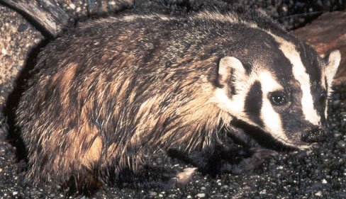
Built to dig. Born to endure.

Night pilots of the mammal world
Build wetlands, shape worlds.
Small hunter, big household legend
One cat. Two continents.
Sure-footed partner of people
Webbed feet, world travelers.
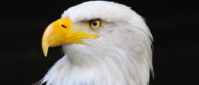
Built to soar, born to strike
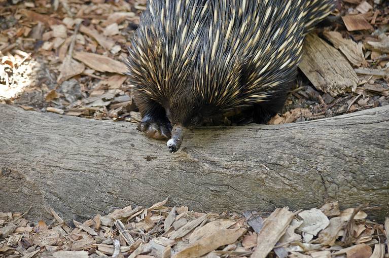
Spines, eggs, and ant-eating mastery
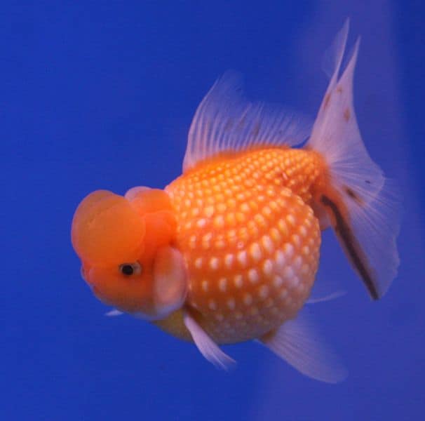
Bony rays, endless ways.
From dunes to tundra-fox smart.
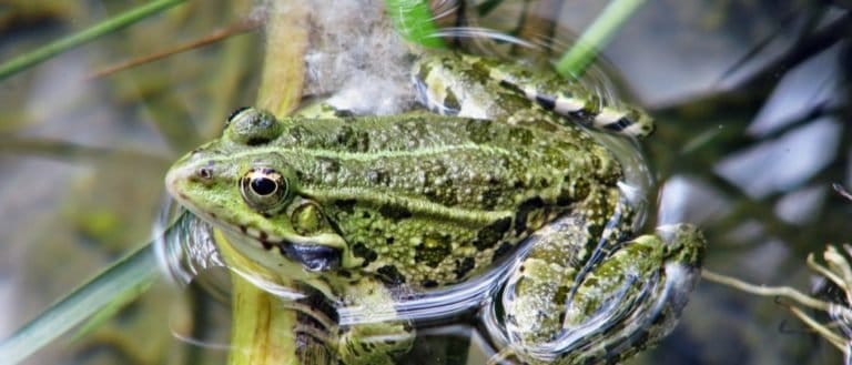
Tailless jumpers, masters of change
Webbed feet, sky roads, wetland lives

Goats: nimble browsers, global helpers

Pouches, burrows, and big impacts
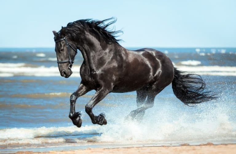
One hoofbeat, a thousand histories
Sun-powered lizards of the Americas
Three stripes. Big city attitude.
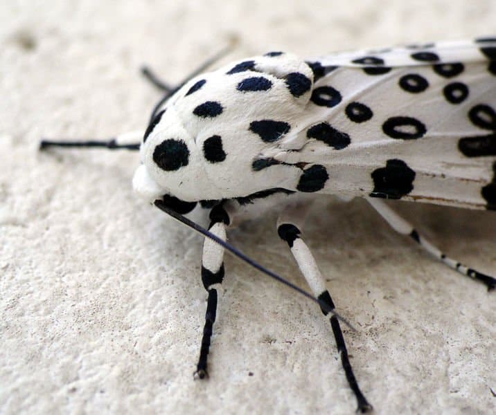
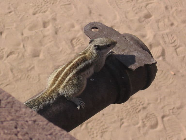
Six legs, endless lives.
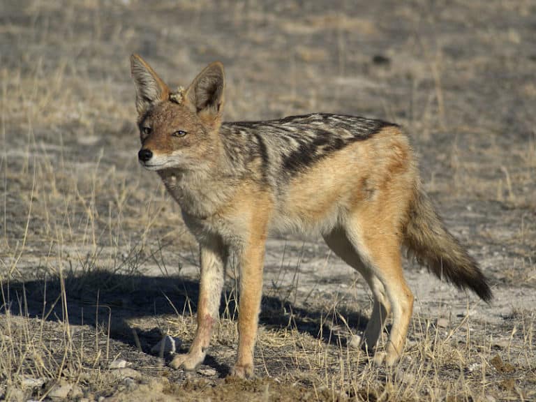
Small canids, big survival skills
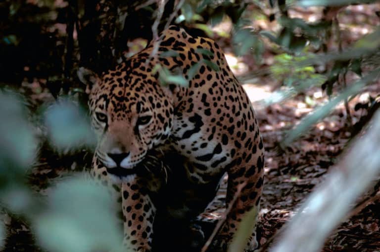
Power of the Americas' apex cat
Sting-powered drifters of the sea
Thank you for reading! Have some feedback for us?
We appreciate your help in improving our content.
Our editorial team will review your suggestions and make any necessary updates.
There was an error submitting your feedback. Please try again.